The last few days have been beautiful winter sporting weather in the Alps. The sun was shining and snow conditions were good. It is now cloudy and the weather will change on Thursday. A storm will blow, and a lot of snow will fall on the mountains. Unfortunately, it often rains a lot in the valleys. Will the ski lifts remain open?
Until Tuesday, the sun shone abundantly in the Alps for several days. It was relatively warm in the mountains with temperatures above zero during the day. However, the snow remained good and the ski slopes were of good quality. However, this Thursday there will be a drastic change in the weather.
Wind and rain will follow the area from the northwest on Thursday. During the afternoon, rain and snow begin to fall in the French Alps, Switzerland and northern Austria. The winds are also very strong, which means that some ski lifts leading to wind-sensitive mountain peaks may already be closed. It is necessary to take into account wind gusts ranging from 80 to 100 kilometers per hour, especially in Switzerland.
It will rain at times and snow heavily in Switzerland and almost all of Austria on Thursday evening and into the night into Friday. Snowfall levels range between 1,400 meters in the west and 900 meters in the far east. As a result, precipitation often falls in the form of rain in the valleys. Combined with melt water, this can cause discomfort.
Storm on Friday
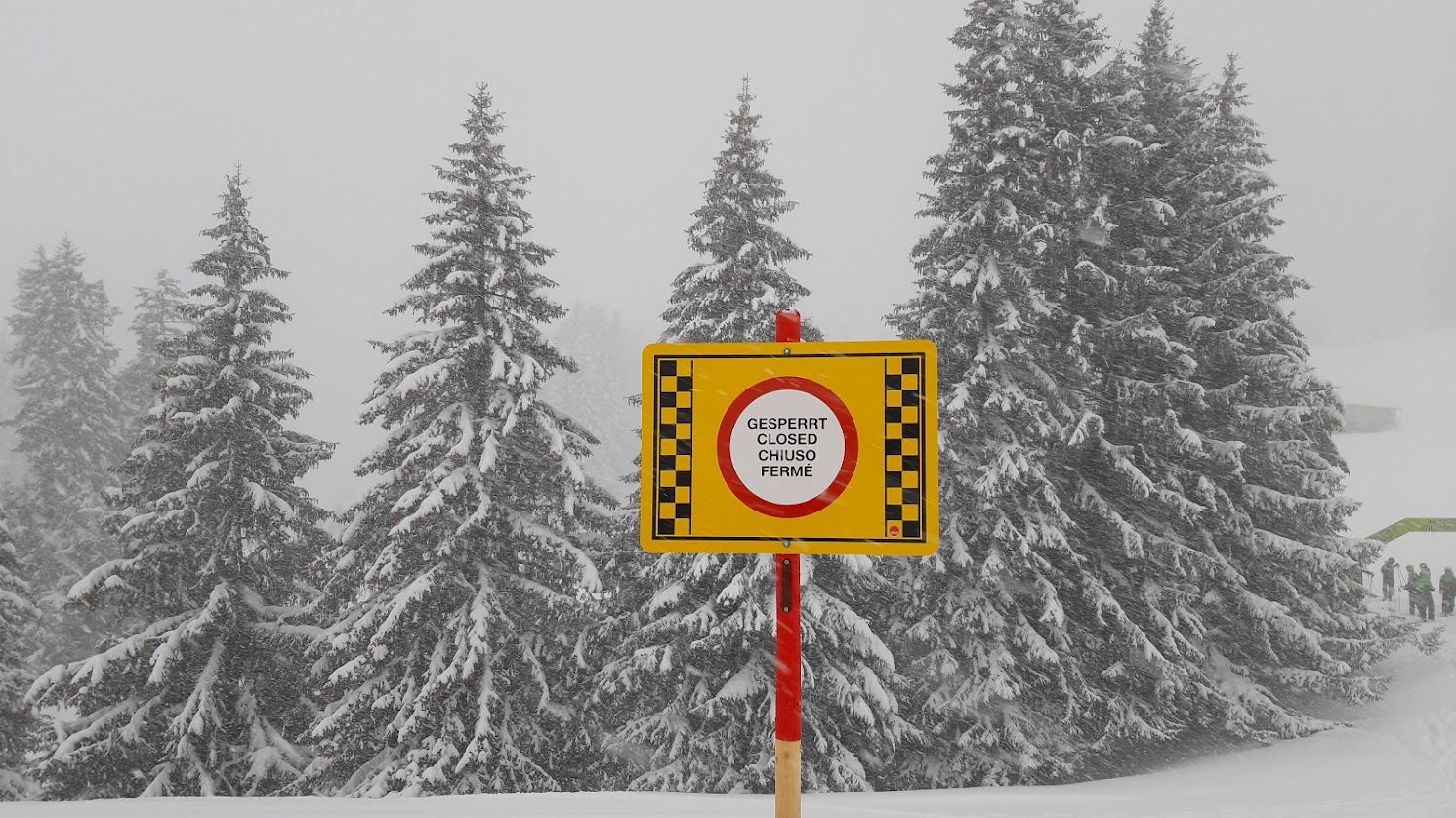
The weather will be quite bad in large parts of the Alps on Friday. Heavy rain falls throughout the day in valleys whose altitudes are less than 1,200-900 metres. Fortunately, there is snow a little higher up the mountain, or in higher ski villages like Lech. This is where a very thick bundle falls, often 50 to 100 cm. The wind is blowing strong, in the mountains there is a gust with a speed of 100 to 130 kilometers per hour. Because of this combination, many ski lifts will remain closed.
Things are a bit quieter in the Italian and partly French Alps, but here too it doesn't stay dry.
The storm will also continue with rain and snow on Saturday. The snowfall line rises several hundred metres. Especially in Austria, heavy rain or snow may fall again. This also increases the risk of avalanches or floods in the lower parts. Keep a close eye on local news.

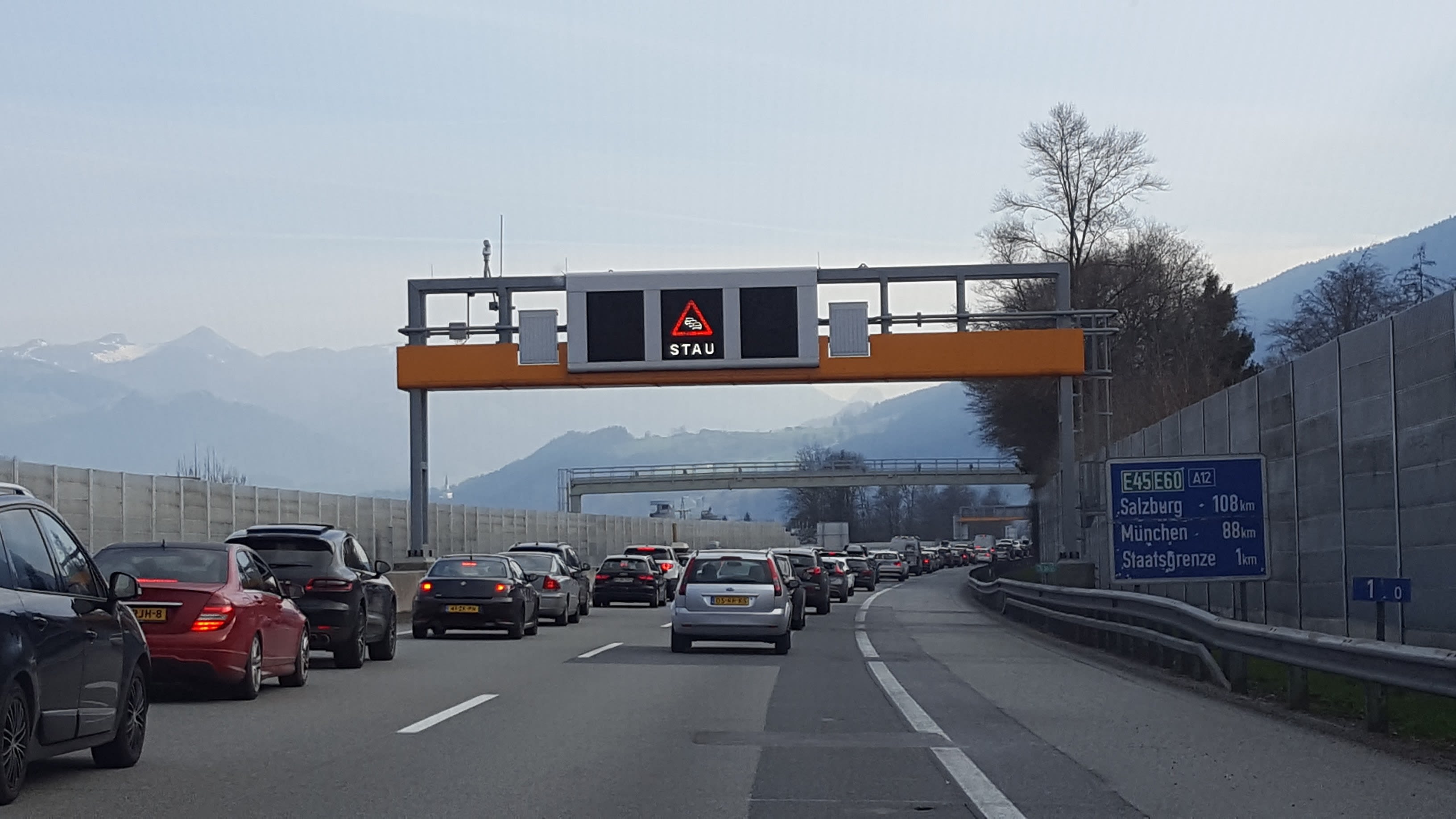
It can sometimes be crowded on the highways leading to the ski areas (Photo: Ronald Ruesch)
Bad weather is also on the way to the Alps
Many winter sports enthusiasts leave the Benelux region for the Alps on Friday and Saturday afternoons. This already makes the road very crowded. Due to road works, traffic jams can occur on the German A3 motorway between Würzburg and Nuremberg, as well as on the A8 motorway between Stuttgart and Ulm. At border crossings into Switzerland and Austria, traffic must also take into account border controls. Fortunately, the temperature is well above zero in Germany, so it rains a lot here. High chance of hydroplaning. There is also sometimes a lot of wind.
Once in the Alps, most routes are doable, although the weather is poor with rain. In the Fernpass Pass in Tyrol, snow must be taken into account on the mountain pass, where snow chains are useful. The same applies to the Arlbergpass and the tunnel.

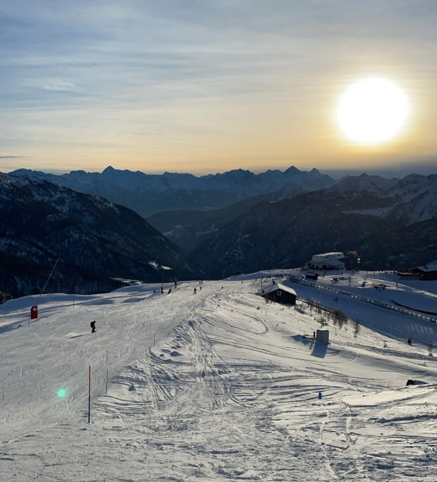
Watery sun on the slopes of Bruel Cervinia. Photo: Jaap van Bergen
Calmer weather from Sunday
From Sunday, calmer weather will return to the Alps. The sun shines often and it remains dry in many places. It is moderate, and the frost line is well above 2000 meters during the day. But in shaded valleys the temperature often remains near or just below freezing.
Starting Tuesday, uncertainty in the weather forecast will increase. It may still be sunny, but the chance of snow is also increasing in some weather models.

Zombie specialist. Friendly twitter guru. Internet buff. Organizer. Coffee trailblazer. Lifelong problem solver. Certified travel enthusiast. Alcohol geek.

