Walking shoes can come out of the closet. As the last province in the Netherlands, Drenthe has a fully connected walking network. With at least 11,000 kilometers of roads.
Admittedly, you can only walk 11,000 kilometers if you also walk on all the roads in the opposite direction. However, the numbers remain impressive: 3,919 road intersections, 35,651 road signs, and 5,772 kilometers of connected trails in one province.
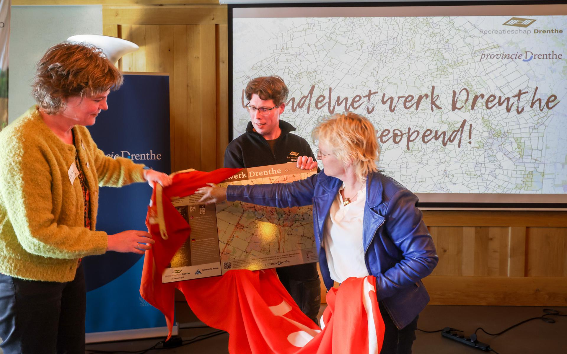
The large walking intersection network in Drenthe was officially opened on Thursday during a large walking conference in the Westerbergen holiday park in Echten. From now on, pedestrians can plan a customized route, depending on how many kilometers they want to walk. Simply take the map and draw a line between the different nodes, each of which has its own number. As soon as you walk along the paths and roads, you see the same ones everywhere, white with brown poles and road signs.
To compete with Gelderland and Limburg
The network also connects to walking networks in surrounding counties and passes restaurants, attractions, museums and other attractions. The intention is to increase the tourist attractiveness of Drenthe.
“Drenthe has been a cycling province in the Netherlands for years, but we also want to become the number one walking province in the Netherlands,” says MP Williamian Meeuwiesen. “The foundation for this has now been laid.”
Gelderland and Limburg are currently more popular with hikers, and the province says it has plenty of ideas to rival those two.
“For example, we use interchanges with local entrepreneurs or cultural institutions to identify themed routes and we want to encourage the tourism sector to join the interchange network,” says Meeuweisen. “For example, a catering entrepreneur could arrange placemats across the Drenthe leisure board, showing the walking network of the area. This way, you encourage visitors to get out and get to know Drenthe better.”
“Drenthe started late, but now he is leading the way.”
Great plans, but Drenthe is the last province to have a comprehensive network ready connecting to the rest of the Netherlands. A trial began in southwest Drenthe in 2016, after which the link system was rolled out under the leadership of Recreatieschap Drenthe. The initial goal was to be ready in 2021, but the process turned out to be more difficult than expected.
“Partly this is because there needs to be a lot of consultation with landowners so they can build roads on their property,” says Gerry Hempen, a councilor for De Wolden City Council and a board member of the Drenthe Recreation Board. “Yes, we started a bit late compared to the rest of the Netherlands, but as a result we were able to learn from other provinces and are now ahead of the curve. For example, all our road signs have a small map showing the nearest road junctions. This is not the case in other provinces.” ”
The total cost of building the network is approximately 3 million euros. The governorate paid half of this amount, and the municipalities paid the other half.
How does the Drenthe walking network work?
On the map or via the connections diagram www.wandelnet.nl Various link numbers can be found. Information boards will be placed at a total of 120 strategic points, such as large parking lots in nature reserves, indicating walking intersections for that specific area. You can write down the numbers on the spot and then go your own way.
If you come across an intersection, a small map of the area is attached to it, indicating nearby intersections. Walking paths between intersections are marked in white with brown arrows.

Zombie specialist. Friendly twitter guru. Internet buff. Organizer. Coffee trailblazer. Lifelong problem solver. Certified travel enthusiast. Alcohol geek.

