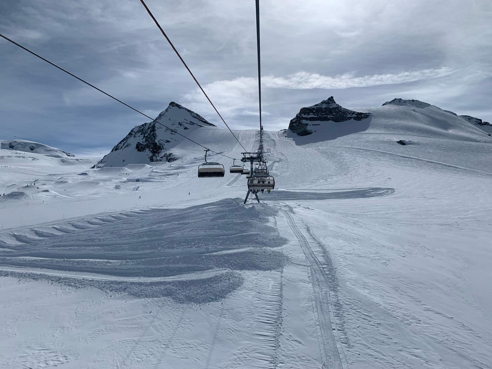
Photography by Floris LeFeber from Zermatt, Switzerland.
Conditions for winter sports in the mountains will not be ideal in the coming days. It is often windy on the northern side of the Alps, while it is very changeable on the southern side of the Alps.
Those on vacation for winter sports next week will have to look for moments with favorable conditions. We will mainly see a split in the Alps in the coming days. On the north side it is often dry, sunny and mild. In addition, there are strong drying winds that can be quite messy. In the south it is more variable and less moderate. Snowfall limits range between 800 and 1,200 metres. It is likely that heavy rain will fall, especially in southern Switzerland, during the next week. Later in the week, the temperature will also rise significantly on the southern side of the Alps and snowfall will only occur in the high mountains.

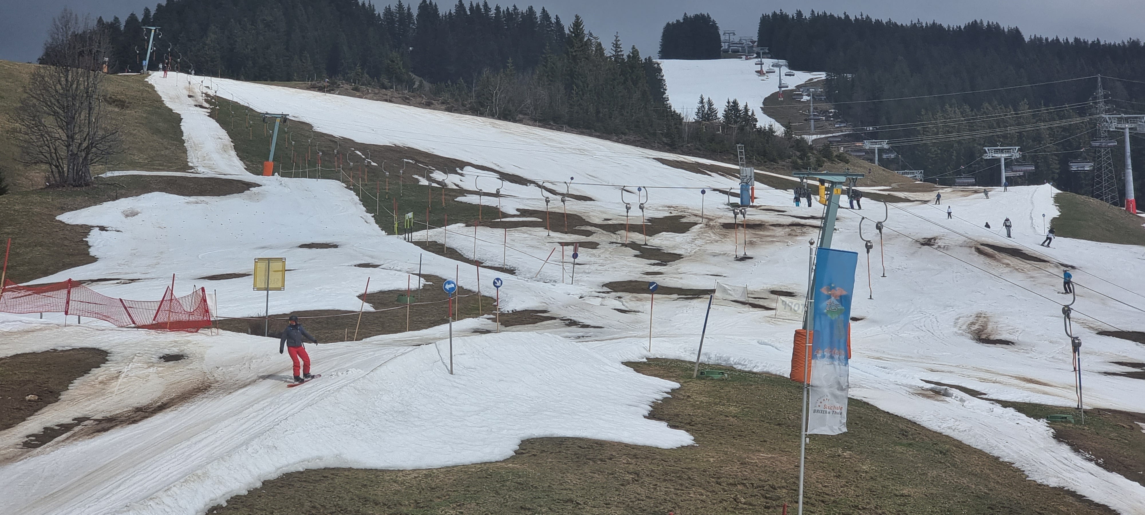
Good snow conditions, especially at lower elevations, have been rare for some time. Photography by Jeroen Elferink, Brixen im Thal, Austria.
Wednesday and Thursday are an exception
On Wednesday, a disturbance will move from west to east across the Alps, temporarily breaking the division. The hairdryer on the north side of the Alps disappears, and rain falls everywhere. The disturbance brings with it colder air, causing the snowfall limit on the northern side to drop to an altitude of between 800 and 1,100 metres. On Thursday, a second disturbance will move from west to east, with snow falling again in many places. Most snow falls on the southern side of the Alps, averaging between 20 and 50 cm, with locally greater amounts falling in southern Switzerland. On the northern side, rainfall is much less, averaging from 5 to 10 centimetres.
Föhnstorm on the north side
The division in the mountains between north and south will return on Friday and Saturday. The hair dryer reaches its peak on the northern side and strong winds are possible, especially at higher elevations. In Kaprun, for example, wind force 8 will be at the top, with gusts sometimes reaching speeds of 120 km/h. There is a good chance the elevators will be closed. Elsewhere on the northern side of the Alps, lift closures are also expected due to gusty winds. The very fine air is originally supplied from North Africa. Temperatures in the valleys can rise above 20 degrees! At an altitude of 1500 metres, the temperature is around 11 degrees, and the snow condition will be much less than desired due to the mild weather. It remains dry and the sun appears regularly, although the Saharan dust that comes from North Africa at high altitudes will also hinder it.
Heavy rain in Switzerland
On the southern side of the Alps there is more cloud cover and more frequent rainfall. Due to the soft air, the snowfall limit also increases significantly there. Its height is about 2000 to 2200 metres, and snowfall will not be limited to the high mountains. After the weekend, volatility increases everywhere in the Alps. There will be disturbances coming and going and the weather will remain mild. There will be a lot of rain, especially in Switzerland. Until next Tuesday, total rainfall could reach more than 250 mm in southern Switzerland.


